What should you know about us?
We want to know everything about plants!
Bay Zoltán Nonprofit Ltd. for Applied Research - Division for Biotechnology
Department of Biomass Production and Valorisation
Environment Geo and Agroinformatics Group
OUR OBJECTIVES
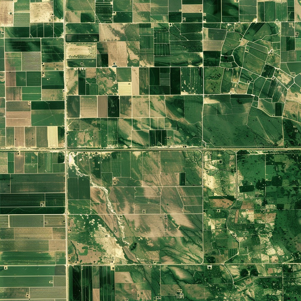
The aim of our services is to provide our partners with accurate information and monitoring of the condition of the fields and the crops grown on them. We help our partners to increase production efficiency, reduce potential damage and thereby gain a competitive advantage in the agricultural market.- We use geographic information systems technology to pinpoint areas in need of precision management (e.g. nutrients, pesticides or herbicides).
- We use leaf-level analysis to determine the location of crops affected by potential diseases.
- We provide a long-term perspective: the condition of the plants provide our partners with precise feedback on the effectiveness of different cultivation techniques, nutrient mixtures, growth stimulants, thus allowing the selection and development of optimal cultivation techniques.
Our Team
We have experience in all areas!
How can we work together?
THE COOPERATION PROCESS
Our Biotechnology Division has a long-standing tradition of developing biostimulants and monitoring methods.
I. PREPARATIONS
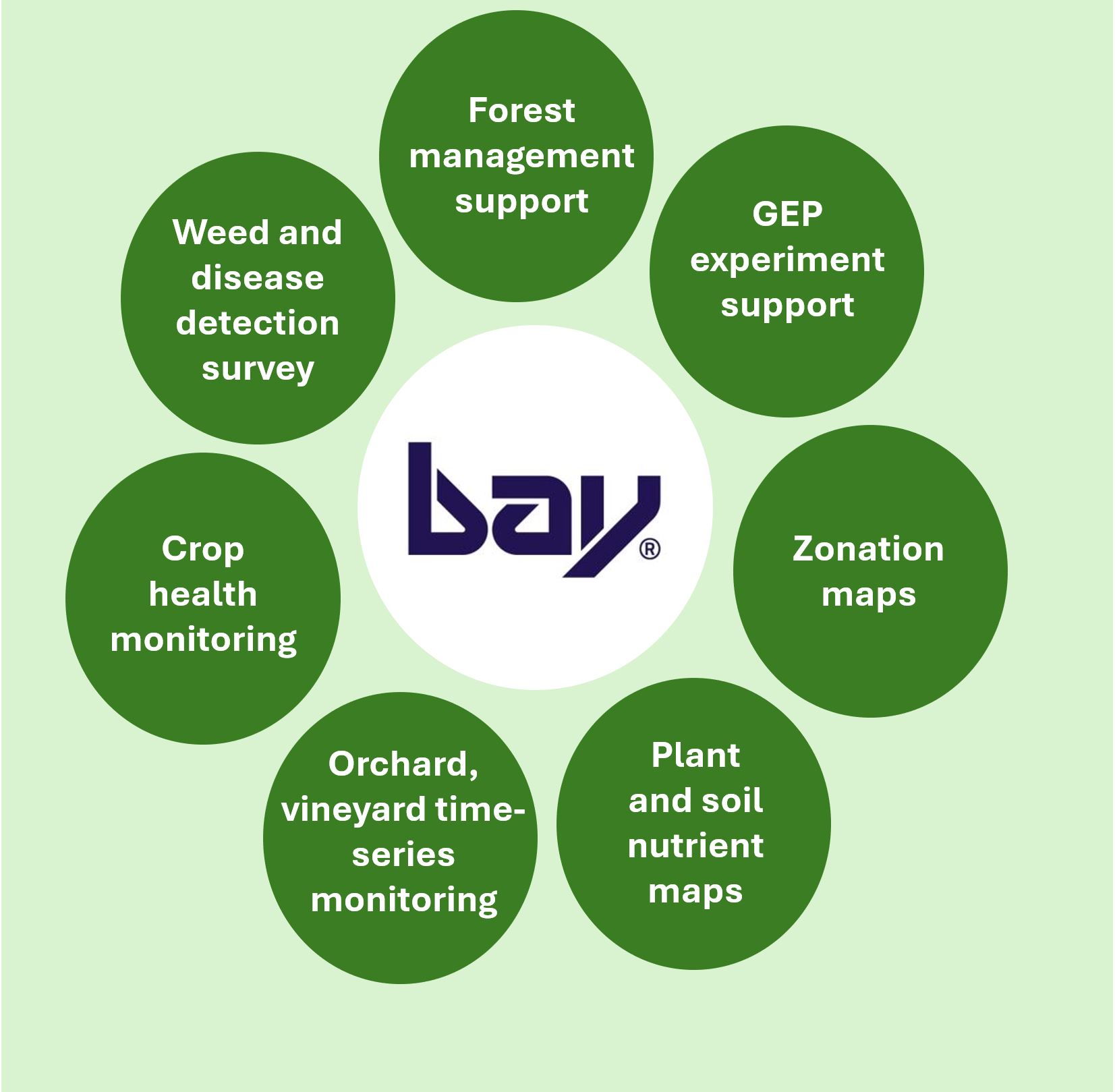
Together with the farmer, we identify the needs and provide a concrete, tailor-made solution proposal and offer, including the precise technical content and timing of the cooperation, covering the following areas of application:
- - weed assessment;
- - plant count;
- - zonation mapping;
- - plant health assessment
(NPK, content and molecular biological analyses); - - plant health monitoring;
- - delimitation of run-off and flood risk areas based on micro-relief;
- - plant cover and plant height assessment;
- - nutrient distribution map;
- - testing of the effectiveness of plant growth stimulants;;
- - income estimate;
- - creation a time series database;
I. FIELD WORK
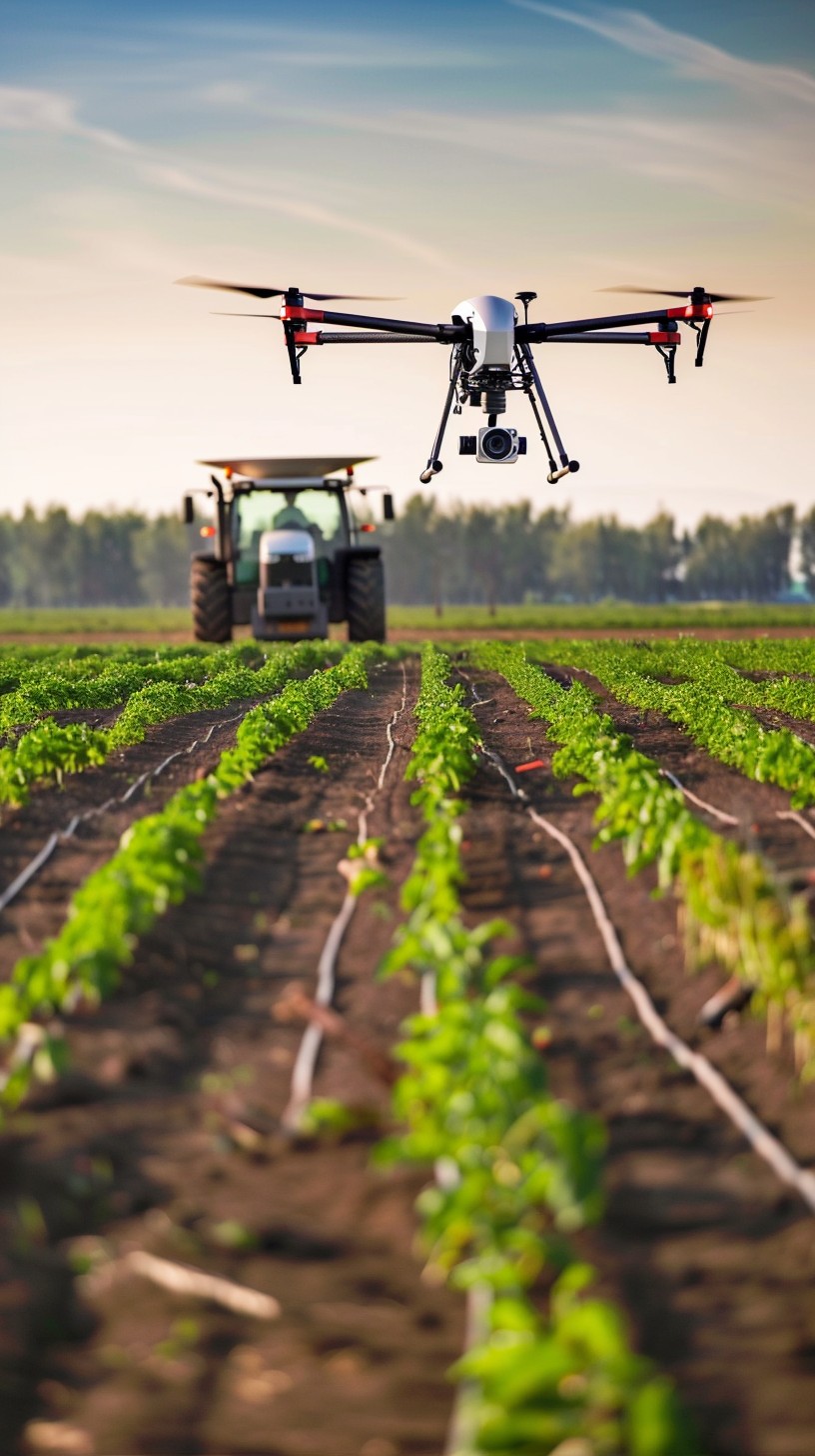
This includes the collection of soil and plant samples and mapping of the area of interest using multispectral and thermal imaging drones and/or satellite data. Depending on the requirements, sampling and data collection can be carried out multiple times in order to monitor plant development and to evaluate the result of precision management.
III. EVALUATION AND DELIVERY OF RESULTS
After field sampling and measurement data analysis, results and conclusions will be presented, including through an online map interface. Subsequently, we will propose the most effective precision treatments, cultivation techniques and follow-up steps.
Services
Let's choose together which service is right for you!