Increasing efficiency in forest management

Image

What solutions can we offer?

Forest management: digital solutions for nature

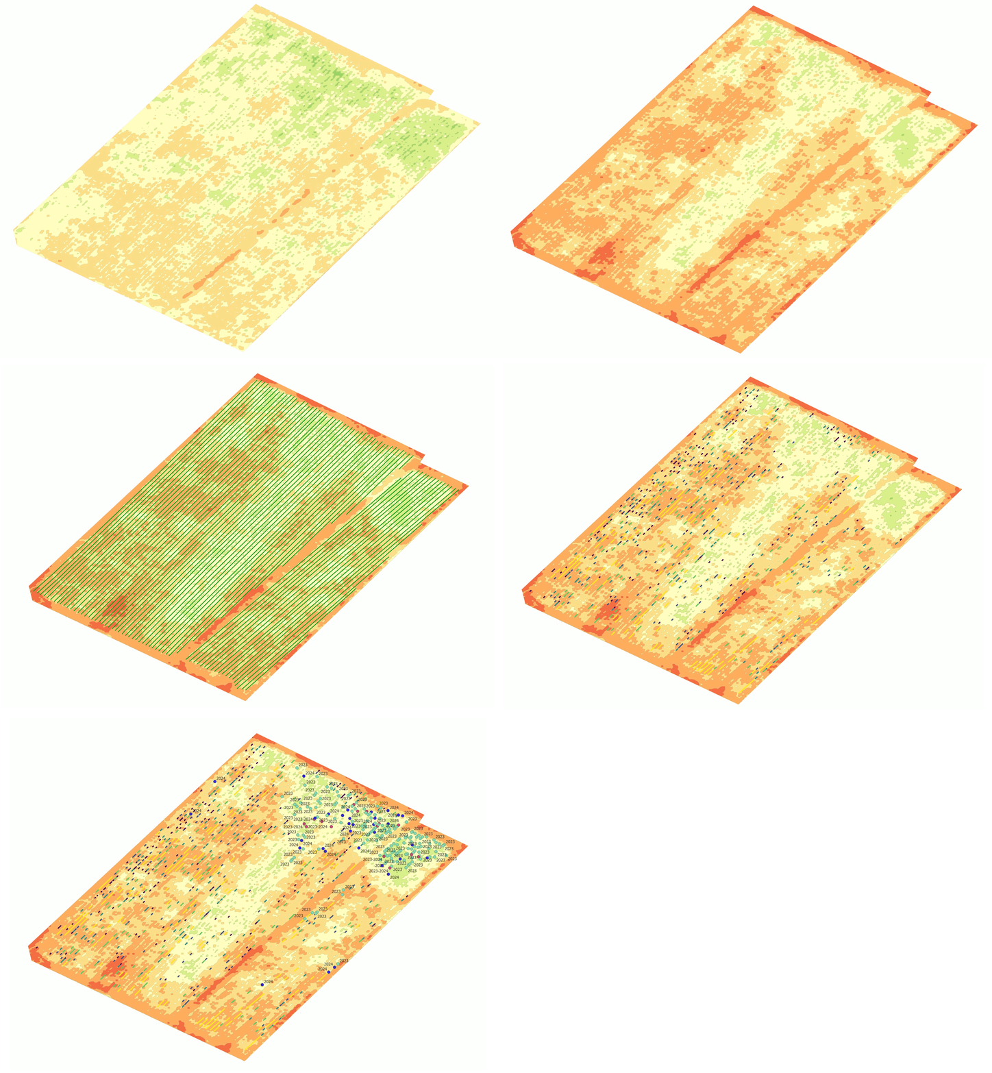
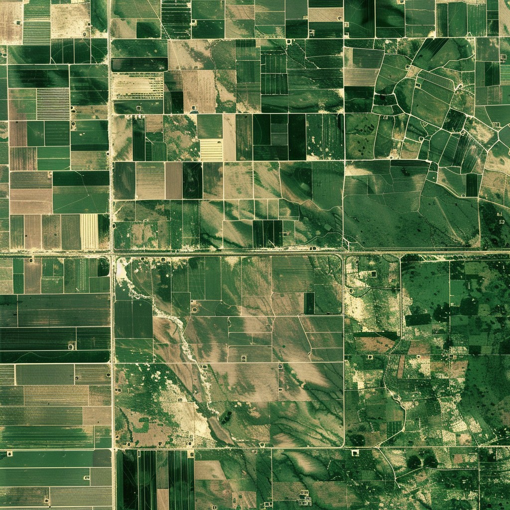
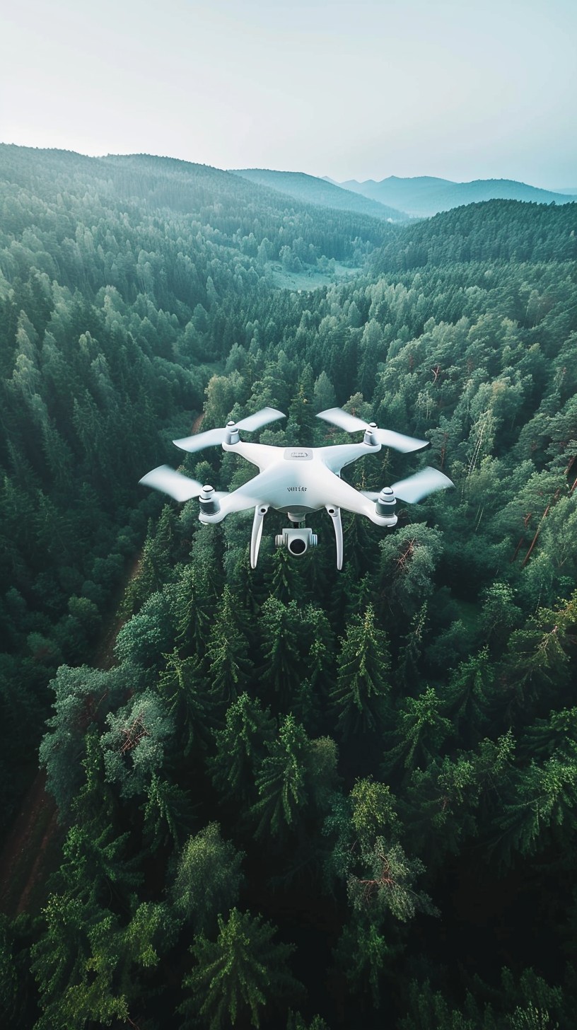
The use of drone and satellite imagery is playing a prominent role in forest management to improve the management and conservation of forests. Our services provide information on forest health, changes in tree populations and opportunities for sustainable management.

• Optimisation of logging

To estimate as accurately as possible the amount of wood that can be extracted from the area

• Forest health monitoring

Detecting disease-infested areas and collection of time series images to study its spreading

• Biomass survey

Biomass mass calculation

• Create a surface model

Run-off analysis, road network condition assessment

• Mapping and geospatial analysis

Identification of species, forest cover map, distribution studies

• Mapping the impact of damage events

Assessment of forest degradation caused by pests and climate change

• Monitoring and evaluation of the effectiveness of reforestation and replanting

Quantity of saplings to be planted

How can I get the correct data?

Image

The size of the area and the type of forest are the determining factors for the experiment

01
Icon

Optimisation of logging

We monitor the health of forests through regular surveys, for the timely detection of diseases, pests or other threats that could endanger the forest.

02
Icon

Forest health monitoring

We monitor the health of forests through regular surveys, for the timely detection of diseases, pests or other threats that could endanger the forest.

03
Icon

Biomass survey

Our service provides detailed data on forest biomass, which is essential for sustainable logging and forest management planning. With this technology, it is possible to calculate exactly how much biomass is available for harvesting and where replanting is needed.

04
Icon

Creation of a surface model

The maps produced by the drones provide an accurate picture of the topography of forest areas, which helps in logistical processes such as the planning and maintenance of roads used during harvesting.

05
Icon

Mapping and geospatial analysis

Based on drone and satellite imagery, we produce detailed maps that help to accurately assess the forest area, identify different habitats and optimise land use, which in turn helps to identify erosion processes and designate areas for protection.

06
Icon

Monitoring and evaluation of the effectiveness of reforestation and replanting

Our service helps to monitor the development of replanted areas and accurately assess the effectiveness of reforestation. We identify areas where there are gaps in planted stands and provide detailed data for replacement. This method can significantly reduce costs by intervening only where necessary, while ensuring the success of the reforestation.

Results


In addition to delivering the results, we always consult with the client to ensure that the information is best used and integrated into production management. We adapt the form of delivery of the results to your needs. In all cases, we take into account the current geographic information standards!

Image

Services

Let's choose together which service is right for you!