Precision support for GEP experiments with arable crops

Image

What kind and how much data we can provide?

Field GEP experiments: Scientific precision for agricultural development

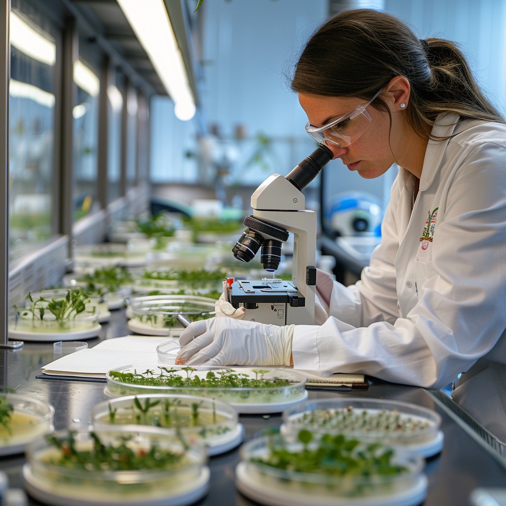
GEP (Good Experimental Practice) experiments are critical for the development of agricultural innovations and new technologies. Our company supports GEP trials using drone imagery and detailed data processing, ensuring that all tests are conducted with the utmost precision and accuracy. In all cases, we complement the drone imaging with high precision (2 cm) field RTK GNSS receiver measurements.

• Survey and selection of experimental plots

Accuracy is the basis of all experiments

• Plant stand monitoring

For variable rate application (e.g. nutrients)

• Data collection and analysis

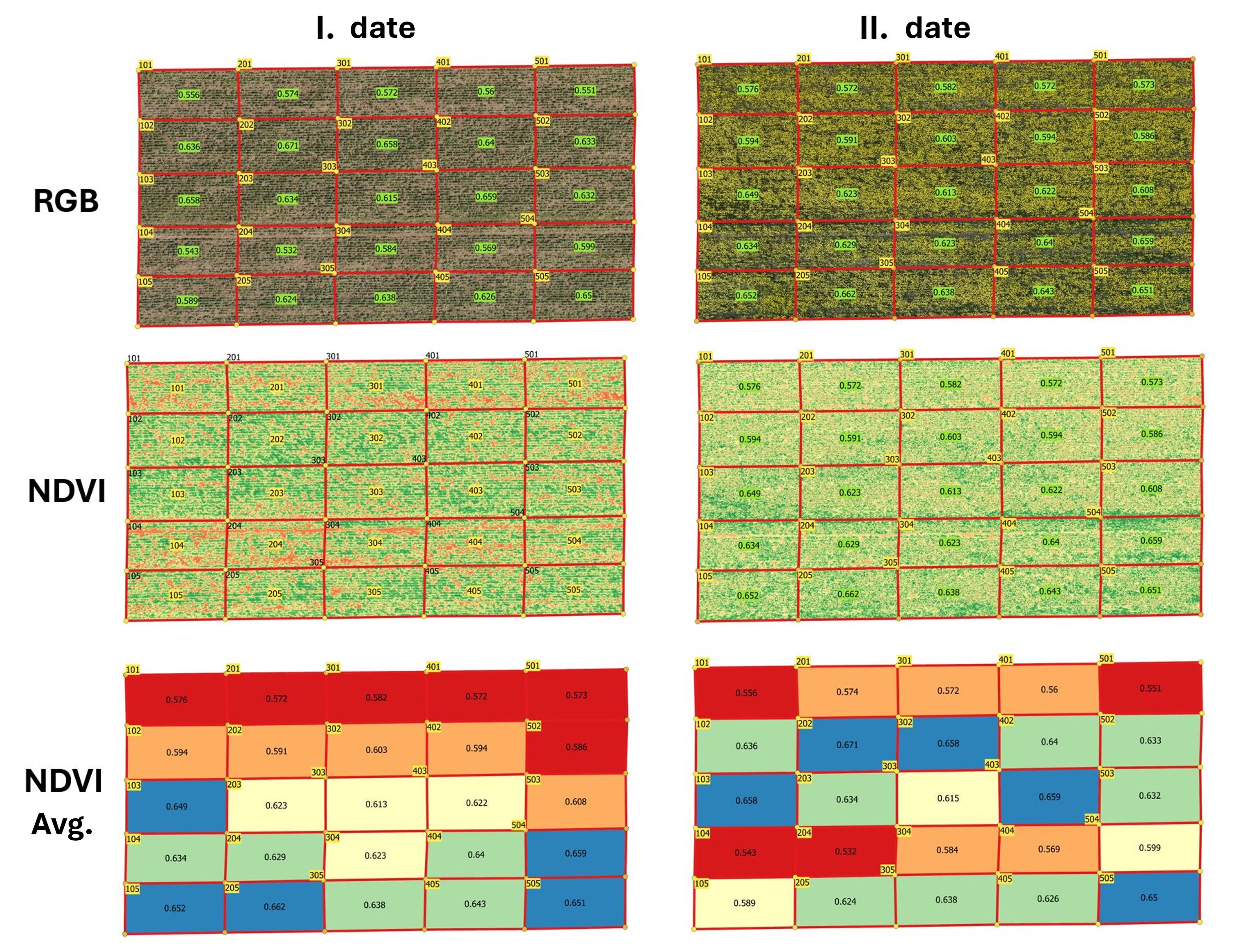
Average data at plot level, based on data collected from individual plants

• Measurement of biostimulant and pesticide (fungicide, herbicide, insecticide) efficacy

Measuring the effects of experimental substances and products on plants

• Leaf-level analysis based on high-resolution RGB and multispectral images

For cost-effective intervention and reduced environmental impact

• Detection of plant diseases

Proportion of plants affected by diseases within experimental plots

• Simultaneous monitoring of thousands of experimental plots

Time-series analysis of large numbers of experimental plots - organised in a database, integrated in an interactive web map

• Application of experimental materials by drone

We also carry out spraying drone application during experiments (with permit of experiments)

How do I choose the right method?

Image

The size of the area and the type of forest are the determining factors for the experiment

01
Icon

Survey and selection of experimental plots/h3>

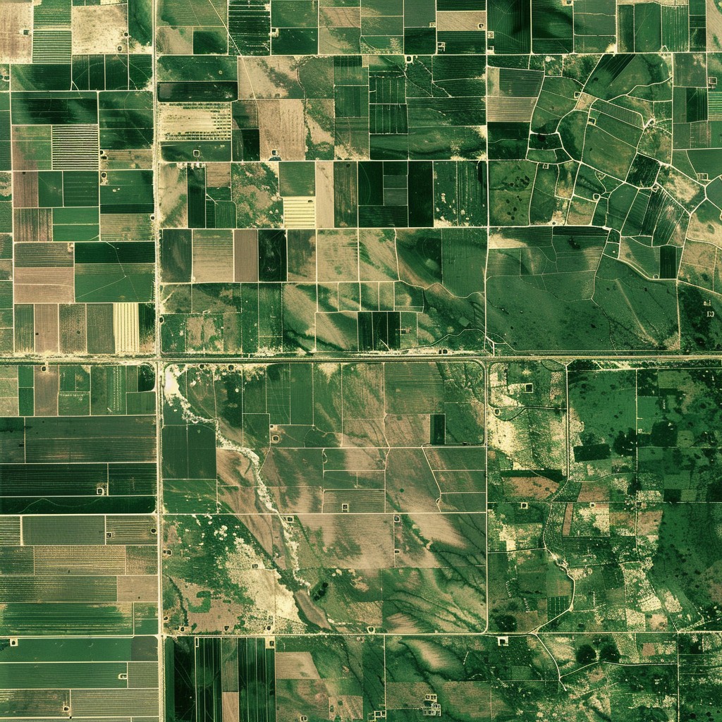
Using drones, we produce high-precision maps of the planned location of the experiment and the surrounding agricultural fields, which allows for the selection of the optimal areas and plan the experiment accurately. This helps to precisely locate the plots and create optimal experimental conditions

02
Icon

Plant stand monitoring

During the experiments, we will monitor the development of the plant population in detail using drone images. The recordings provide data on growth dynamics and possible stress factors, so that we can react quickly and accurately to any problems during the experiments.

03
Icon

Data collection and analysis

Accurate data collection is essential for the success of experiments. We use our drone technology to collect large amounts of data from plants and then analyse this data using in-house developed models and adapted algorithms. These tools ensure the most accurate results possible, which contribute to the reliability of the experimental results and ensuring comparability of the results of different plots.

04
Icon

Monitoring the effectiveness of biostimulants and plant protection products

Our services allow us to accurately monitor the effects of different biostimulants and pesticides at experimental plots. We use drone imagery and crop data to determine which treatments are most effective for plant growth and yield. In addition, we determine the biomass product, which shows how effective the biostimulants are in producing total biomass. For certain crops, the yield can also be determined.

05
Icon

Application of experimental materials by drone

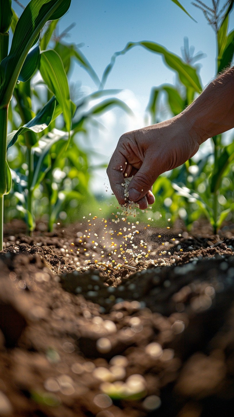
During the experiments, experimental inputs like fertilizer or herbicides can be applied with an agricultural drone at different doses and droplet sizes to each plot as specified in the experimental design. In all cases, only a licensed specialist is allowed to operate the agricultural drone, and a permit for experimental spraying is required.

06
Icon

Leaf-level analysis from high-resolution RGB and multispectral images

With the latest technology, we now also perform leaf-level analyses. By analysing high-resolution RGB and multispectral images, we collect important data such as leaf area, number of leaves, number of plants and plant height. All these data are evaluated on a plot-by-plot basis, ensuring accurate and detailed analysis of the (experimental) plots.

Results


In addition to delivering the results, we always consult with the client to ensure that the information is best used and integrated into production management. We adapt the form of delivery of the results to your needs. In all cases, we take into account the current geographic information standards!

Image

Services

Let's choose together which service is right for you!