How can we help?
Crop production: precision solutions to maximise income
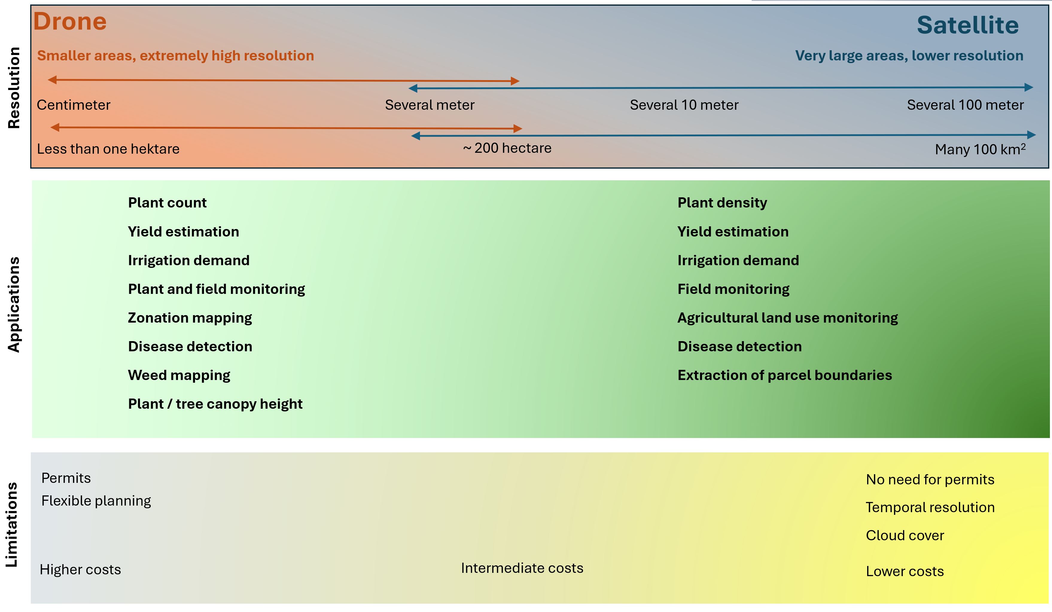
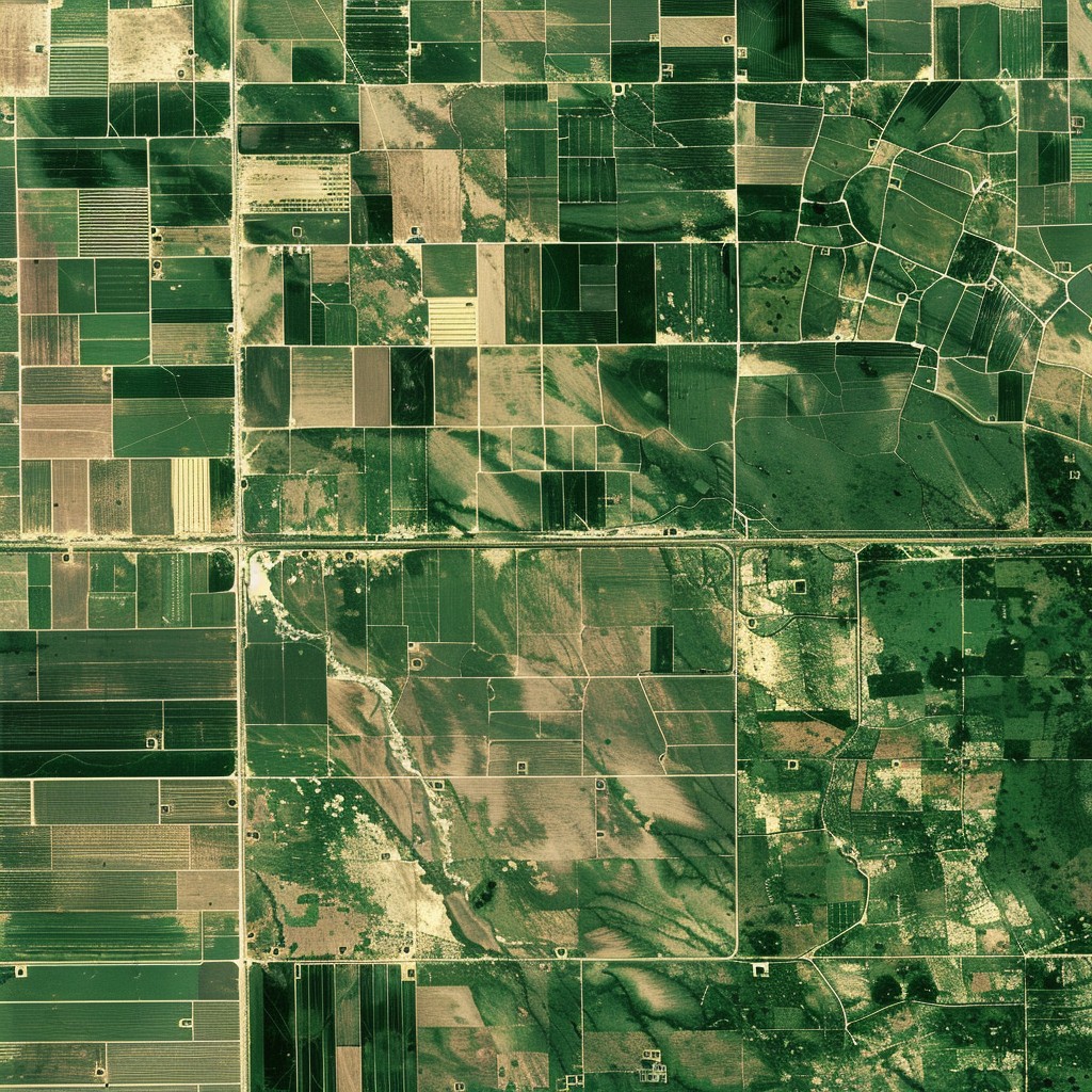
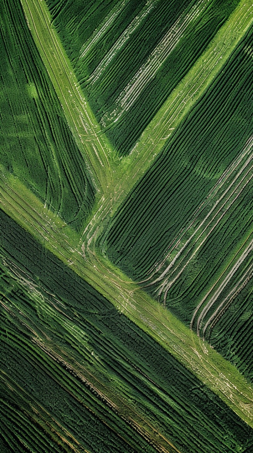
Arable farming is one of the main profiles of our company, where we support farmers with drone and satellite imagery for more efficient, sustainable farming. Using our innovative technology, we provide accurate data on crop condition, nutrient availability and yield to help farmers make the best decisions.
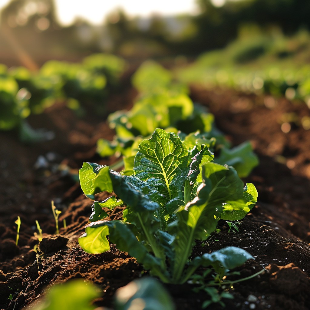
• Plant count
Germination loss, basis of yield estimation
• Plant nutrient estimation maps
For differentiated nutrient application
• Estimation of yields and income
What can I expect
• Plant height measurement
To monitor plant development and biomass
• Measuring the extent of weed infestation
For cost-effective intervention and less environmental impact
• Detection of plant diseases
To intervene as quickly as possible
• Mapping the impact of damage
Rate of crop loss, insurance
• Zonation mapping
For plant status monitoring and variable rate application
