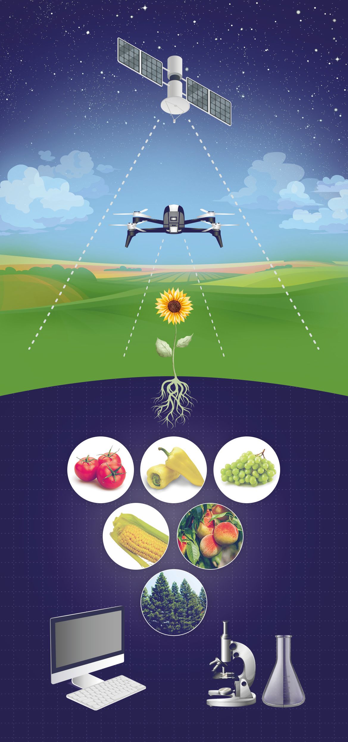
Drone monitoring
How can I reduce my production costs using high-resolution drone data and vegetation maps?
Satellite monitoring
How can I reduce my production costs by using satellite data or combining it with drone data?
Increase yields
How to increase yields using drone or satellite data?
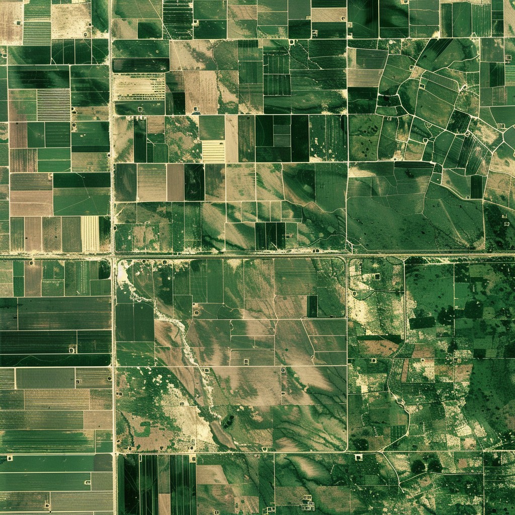
Zonation mapping
How do I know which parts of my fields are producing less than expected?
Support for irrigation
How can I irrigate more efficiently using precision data about my fields?
Yield estimation
How much yield can I expect from my fields?
Variable rate application
How much do my crops need? How can I reduce my cost by optimizing the application of materials?
Damage mapping
How can I get information on the spatial extent of dames events such as wildfire, drought, or inland excess water?
